
- India,
- 23-Jul-2026 02:15 PM IST



The South-West Monsoon has taken a formidable form that has captured the intense attention of meteorologists across the globe. Recent satellite imagery has revealed a staggering phenomenon: a massive band of clouds and rain stretching approximately 7000 to 10000 kilometers in length. This colossal atmospheric structure originates from North India and extends across the Himalayas, through China, and reaches as far as South Korea, while experts are identifying this as a sign of the most active phase of this year's monsoon season, which is expected to bring significant and heavy rainfall to large parts of Northern and Central India in the coming days.
The Science Behind the Monsoon Convergence Zone
According to weather scientists, this massive formation is a Monsoon Convergence Zone. It was created when moisture-laden monsoon winds rising from the Indian Ocean collided with various other weather systems across the Asian continent. This complex interaction has resulted in the creation of a cloud corridor thousands of kilometers long, where new rain-bearing clouds are continuously forming and moving forward. This explains why monsoon activities are intensifying simultaneously across multiple countries, creating a unified weather event that spans a significant portion of the continent.
Record Breaking Monsoon Activity in India
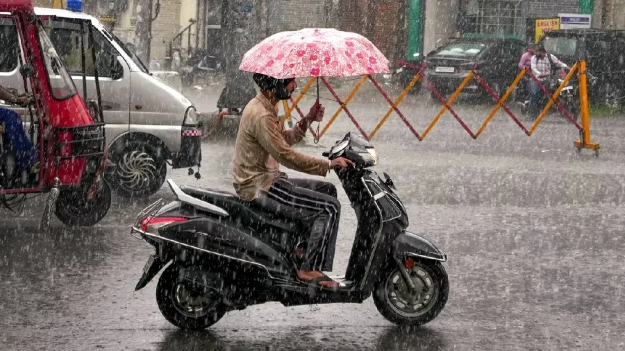
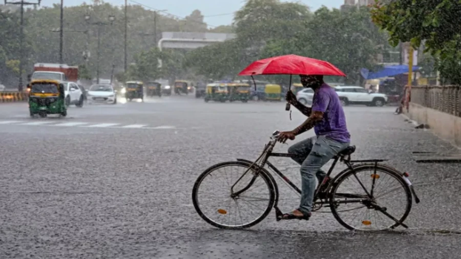
Over the past two days, rainfall across India has been recorded at approximately 170 to 180 percent higher than the normal daily average. This is being considered the strongest phase of the monsoon season so far. Several regions, including Uttar Pradesh, Uttarakhand, Punjab, Haryana, Rajasthan, and the Delhi-NCR region, have already experienced substantial rainfall. Also, a low-pressure area formed in the Bay of Bengal is causing a continuous spell of heavy rain in Eastern and Northeastern India, ensuring that the monsoon remains vigorous across the national landscape.
Agricultural Benefits and Water Security
While the start of the monsoon was uneven in many areas, leading to rainfall deficits in several states, this current active phase is expected to Notably reduce those shortages. Weather experts suggest that the heavy rains in North and Central India will lead to a rise in the water levels of major reservoirs. This is particularly beneficial for the agricultural sector, as it provides much-needed moisture for Kharif crops. The influx of water is expected to bring substantial relief to farmers who were previously concerned about the lack of consistent rainfall.
Heightened Risks and Administrative Alerts
Despite the relief brought by the rain, the continuous downpour has also increased the risk of natural disasters. The Meteorological Department and local administrations are maintaining a close watch on areas prone to sudden flooding, urban waterlogging, and landslides. There is a specific concern regarding the rapid rise in river water levels, while in mountainous states like Uttarakhand and Himachal Pradesh, authorities have been placed on high alert to manage potential emergencies arising from the intense weather conditions.
A Unified Asian Weather Cycle
Experts emphasize that the latest satellite images prove the Indian Monsoon isn't an isolated event restricted to the Indian subcontinent, while the current weather system spans from the Arabian Sea to East Asia, influencing the climate of several nations simultaneously. This indicates that the rain occurring in India is part of a much larger Asian weather cycle, driven by an atmospheric mechanism that stretches across thousands of kilometers and connects the weather patterns of multiple countries through a single, massive system.