- India,
- 16-Jun-2021 02:59 PM IST
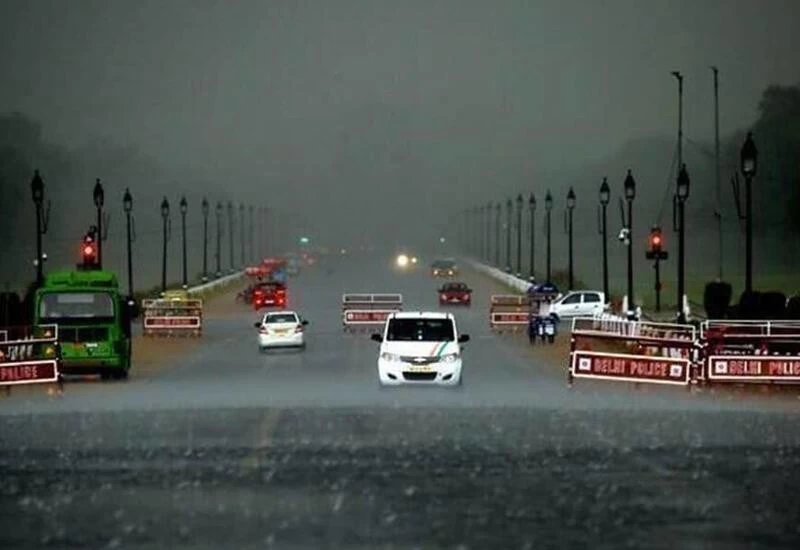
New Delhi: Days after predicting onset of monsoon in the Capital by June 15, scientists from the India Meteorological Department (IMD) have revised their prediction, announcing a further “delay of 7-10 days”.
“We are expecting a 7-10 days delay from now. There is no monsoon activity over west UP now. There is a trough (area of low pressure) in the westerlies which is affecting the easterly wind flow. Monsoon winds are reaching only up to east UP. We don’t expect progress in the next 7 to 10 days to the rest of northwest India. There may be some thunderstorm activity but moisture is very low,” said Kuldeep Shrivastava, head of IMD’s regional weather forecasting centre.
Last week, following monsoon’s rapid progress to some parts of northwest India, IMD had announced that it is likely to hit Delhi between June 12 and 15. The normal date for monsoon arrival in Delhi is June 27.
While the northern limit of monsoon (NLM) is passing through Diu, Surat, Nandurbar, Bhopal, Nowgong, Hamirpur, Barabanki, Bareilly, Saharanpur, Ambala and Amritsar, officials said due to approaching mid-latitude westerlies winds, further progress of monsoon over remaining parts of northwest India is likely to be slow.
“A westerly system is approaching which will slow down the progress of the monsoon. It will both weaken the easterly winds, which is crucial for monsoon rains, and curb the coverage of easterlies in northwest India, especially in north Haryana and north Punjab region. The easterlies may be able to reach up to certain parts of Uttar Pradesh but not progress further,” said RK Jenamani, senior scientist at national weather forecasting centre, IMD.
A low pressure area which had formed over Bay of Bengal is lying over east Uttar Pradesh and adjoining Bihar while the trough is running from northwest Rajasthan to northwest Bay of Bengal across Haryana and southwest Uttar Pradesh.
Under the influence of these systems, widespread rain with isolated thunderstorms and lightning is likely over most parts of east, central and northeast India during the next 4-5 days. Isolated thunderstorms and lightning is likely over most parts of northwest India during next two days and decrease in rainfall activity thereafter, except over east Uttar Pradesh where fairly widespread rain is likely to continue during next 4-5 days.
Under the influence of an offshore trough, running from north Maharashtra coast to north Kerala coast, widespread rain with isolated heavy to very heavy rain, thunderstorm and lightning is likely over south Konkan, Goa, Karnataka and Kerala and Mahe during the next three days.
