
- India,
- 28-May-2026 07:02 PM IST



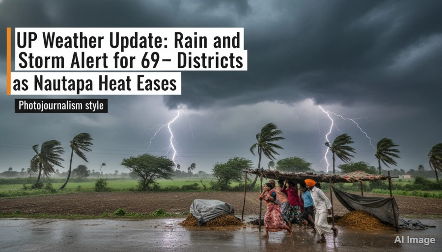
The weather in Uttar Pradesh has taken a dramatic turn on the fourth day of Nautapa, providing a much-needed respite from the scorching heat. On Thursday morning, several districts across the state witnessed a shift in conditions with strong winds blowing and clouds hovering over the horizon, while the Meteorological Department has responded to these changes by issuing a comprehensive alert for 69 districts, warning of impending rain, thunderstorms, and potential hailstorms. This shift comes at a time when the state has been reeling under intense heat, marking a significant transition in the regional climate patterns.
Severe Weather Warnings and Wind Speeds
According to the latest updates from the weather office, the alert covers a vast majority of the state, with 24 districts specifically warned about the possibility of hailstorms. Meteorologists have indicated that wind speeds in certain areas could escalate to a staggering 100 kilometers per hour. The current forecast suggests that this cycle of storms and heavy rainfall is likely to persist until May 31. While the primary concern remains the potential for damage caused by high-velocity winds, the change is also expected to bring down the mercury levels Notably, offering relief to millions of residents who have been struggling with the peak summer heat.
Extreme Temperatures and Local Incidents
Despite the cooling trend in some parts, extreme heat continues to dominate several regions. 8 degrees Celsius. Many other districts have also seen temperatures soaring past the 45 degree mark. In Prayagraj, the intense sunlight and hot winds forced residents to adopt unique measures; a young man was seen riding a scooty completely covered in a protective shield, an image that quickly went viral on social media, while meanwhile, a frightening incident occurred in Ayodhya where a moving auto-rickshaw suddenly caught fire. Fortunately, the passengers managed to jump out in time to save their lives, highlighting the dangers posed by the extreme thermal conditions.
Scientific Basis for the Weather Shift
Atul Kumar Singh, a scientist at the Lucknow-based Meteorological Center, explained the technical reasons behind this sudden change. He stated that a new Western Disturbance is becoming active over the state. Simultaneously, a cyclonic circulation has formed at higher altitudes over South Bihar and its surrounding areas. The interaction between these two weather systems is expected to trigger rapid changes across Uttar Pradesh. As these systems progress, they're likely to cause a temperature drop of 6 to 8 degrees Celsius in various parts of the state, which will effectively mitigate the impact of the ongoing heatwave.
IMD Red and Orange Alerts
The Indian Meteorological Department (IMD) center in Lucknow has issued Red and Orange alerts spanning from May 28 to June 1. The detailed timeline provided by the department is as follows: On May 28 and 29, several districts in Western Uttar Pradesh are expected to face severe storms with wind speeds ranging from 70 to 100 kilometers per hour, accompanied by heavy rain and hail. By May 30, the forecast predicts thunderstorms, lightning, and winds reaching 60 to 70 kilometers per hour. The period of May 31 and June 1 will continue to see rain and strong winds coupled with thunder and lightning activities.
Districts Under High Alert
The impact of this weather system is expected to be most pronounced in Western Uttar Pradesh districts including Baghpat, Meerut, Ghaziabad, Hapur, Bulandshahr, Aligarh, Mathura, Agra, Firozabad, Etah, Mainpuri, Etawah, Kasganj, Budaun, Bareilly, Pilibhit, and Shahjahanpur. On top of that, alerts have been extended to central and eastern regions including Lucknow, Kanpur, Ayodhya, Gorakhpur, Varanasi, Prayagraj, Jhansi, Lalitpur, Hamirpur, Mahoba, Chitrakoot, and Banda. The IMD has advised farmers, cattle rearers, and the general public to remain vigilant, as strong winds could damage trees, electric poles, and temporary structures, while hailstorms pose a threat to standing crops.