
- India,
- 15-Aug-2026 08:14 AM IST



7 on the Richter scale struck the coastal regions of Indonesia on Saturday morning, sending shockwaves through the archipelago and prompting authorities to issue an immediate tsunami warning. According to reports from the US Geological Survey (USGS), the powerful seismic event occurred at approximately 5:58 AM local time on Saturday. The earthquake was centered in the Flores region, a part of the East Nusa Tenggara province, which is known for its seismic activity. The tremors were felt deeply as the quake originated at a relatively shallow depth of 10 kilometers below the earth's surface, a factor that often increases the intensity of the shaking felt on the ground.
Geographic Epicenter and Immediate Impact
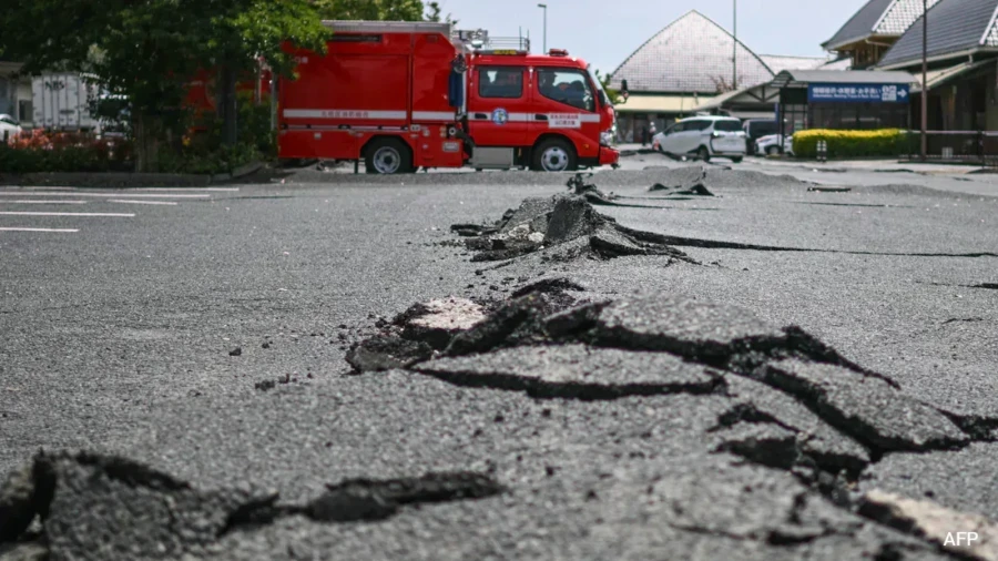
The epicenter of this significant earthquake was identified at a location approximately 68 kilometers north-north-west of Ende city, situated in the East Nusa Tenggara province. 7, there have been no immediate reports of casualties or major structural damage from the affected areas as of the latest updates. However, the intensity of the quake has caused widespread concern among the local population and government officials, while the shallow nature of the earthquake, occurring just 10 kilometers deep, often increases the potential for surface damage and the generation of tsunami waves, which is why the authorities have taken swift and decisive action to protect the public.
Tsunami Warning and Safety Measures
In the immediate aftermath of the tremors, Indonesia's Meteorology, Climatology, and Geophysics Agency issued a formal tsunami warning for the surrounding coastal areas. The agency has urged residents and visitors to stay away from beaches and riverbanks, as these areas are most vulnerable to sudden changes in sea levels. Also, the agency has advised people living in the impacted coastal zones to evacuate to higher ground immediately as a precautionary measure. Officials are currently monitoring coastal tide gauges with extreme precision to detect any unusual fluctuations in sea levels that could indicate the arrival of tsunami waves. The warning remains in place as the situation is being closely watched by disaster management teams.
The Ring of Fire Context
Indonesia is a vast nation comprising more than 17,000 islands, and its geographical location makes it one of the most seismically active regions in the world. The country sits atop the Pacific Ring of Fire, an arc of volcanoes and fault lines that encircles the Pacific Basin. This positioning means that Indonesia is frequently subjected to earthquakes and volcanic eruptions. The Ring of Fire is characterized by the movement of tectonic plates, which often leads to the buildup of pressure that's eventually released in the form of powerful earthquakes like the one witnessed this Saturday morning. The vulnerability of the region is a constant factor in the country's disaster preparedness strategies.
Ongoing Monitoring and Official Advice
The Meteorology, Climatology, and Geophysics Agency continues to keep a close watch on the situation in the Flores Sea and surrounding waters. They've reiterated their plea for the public to remain vigilant and follow all safety protocols issued by local disaster management authorities. The focus remains on the Flores island vicinity, where the underwater earthquake's impact is expected to be most pronounced. As the situation develops, officials are working to ensure that all residents in high-risk zones are informed and moved to safety. The monitoring of sea waves remains a top priority to prevent any loss of life in the event of a tsunami, and residents are advised not to return to coastal areas until the warning is officially lifted.