- Nepal,
- 20-May-2020 03:22 PM IST
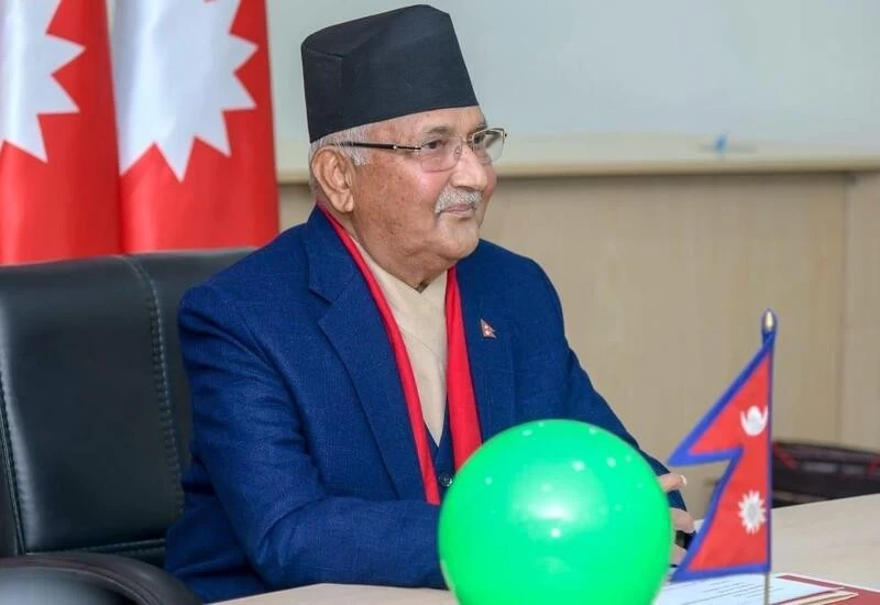
Kathmandu: Nepal Prime Minister KP Sharma Oli on Tuesday, 19 May, asserted that Lipulekh, Kalapani and Limpiyadhura belong to Nepal and vowed to “reclaim” them from India through political and diplomatic efforts, as his Cabinet endorsed a new political map showing the three areas as Nepalese territory, reported PTI.
“As prime minister of the incumbent government, I want to appraise the honourable house that the issue of Limpiyadhura, Lipulekh, and Kalapani won’t be covered up, a conclusion will be drawn regarding it. We won’t let this issue fade out and it will be sorted out through diplomatic talks making concrete efforts and the territories will be reclaimed."
The announcement of the new political map was made by Pradeep Kumar Gyawali, Nepal's Foreign Minister, and has come under fire after he had said that efforts were on to resolve the border dispute with India.
The Lipulekh pass is a far western point situated near Kalapani which is a disputed border area between India and Nepal. Both countries claim that Kalapani is a part of their territory. India says it comes under Uttarakhand’s Pithoragarh district while Nepal says it is a part of their Dharchula district.
Gyawali put out a tweet saying, “Decision of the Council of Ministers to publish the map of Nepal in 7 provinces, 77 districts and 753 local level administrative divisions including Limpiyadhura, Lipulek and Kalapani. The official map is being made public by the Ministry of Land Management soon.”
India, on the other hand, recently inaugurated a road section in Pithoragarh, and has said that the area lies completely in its territory.
The Finance minister and government spokesperson Yuvaraj Khatiwada of Nepal said on Monday, that the Prime Minister, KP Sharma Oli had approved the new map of Nepal.
