- India,
- 28-Mar-2026 09:39 AM IST
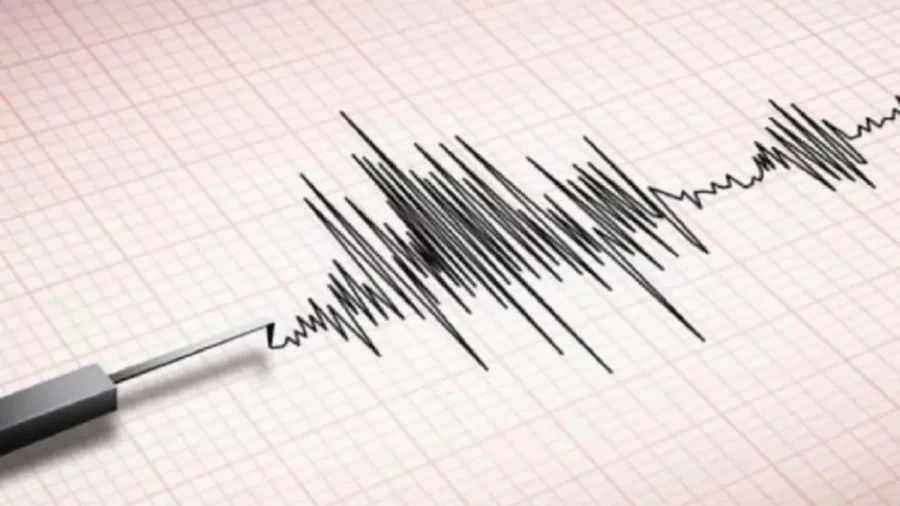
6 on the Richter scale jolted various parts of the country. According to the National Seismic Monitoring Centre, the tremors were felt in the early hours, causing residents in several cities to rush out of their homes in panic, while the epicenter was located at a considerable depth, which allowed the vibrations to spread across a wide geographical area. Authorities have confirmed that there have been no immediate reports of casualties or significant structural damage to property as of the latest updates.
Details of the Saturday Morning Seismic Event
The earthquake on Saturday morning was felt most prominently in parts of Khyber Pakhtunkhwa and Punjab provinces. 6, a level classified as moderate, which typically doesn't cause widespread destruction but is strong enough to be felt clearly by people indoors and outdoors. Local administration officials in the affected districts have been placed on high alert to assess any potential hidden damages to infrastructure, particularly in older settlements. Residents reported that the shaking lasted for several seconds, leading to temporary disruptions in daily routines as safety protocols were initiated.
Chronology of Recent Tremors in the Region
This latest seismic event marks the third time in 72 hours that Pakistan has been hit by an earthquake. 6 magnitude occurred on Thursday, March 26. The recurrence of these tremors within such a short timeframe has drawn the attention of geological experts. While the magnitude has remained relatively consistent, the frequency of these events suggests ongoing adjustments within the earth's crust in the South Asian region. Historical data indicates that such clusters of moderate earthquakes aren't uncommon in this geographically volatile zone.
Tectonic Plate Dynamics and Geological Factors
The primary reason for the high frequency of earthquakes in Pakistan is its unique geological positioning. The country sits atop a complex junction where the Indian, Eurasian, and Arabian tectonic plates meet. The Indian plate is continuously moving northward, colliding with the Eurasian plate at a rate of several centimeters per year. This collision creates immense pressure along fault lines, which is periodically released in the form of earthquakes. This tectonic interaction is also responsible for the formation and continued growth of the Hindu Kush and Himalayan mountain ranges, making the entire belt one of the most seismically active regions globally.
High-Risk Zones and Provincial Vulnerability
Different regions of Pakistan face varying levels of seismic risk based on their proximity to major fault lines. Provinces such as Balochistan, Khyber Pakhtunkhwa, and Gilgit-Baltistan are situated on the southern edge of the Eurasian plate, placing them in high-risk zones, while balochistan, in particular, is located near the active boundary of the Arabian and Eurasian plates. Meanwhile, Punjab and Sindh are positioned on the northwestern edge of the Indian plate. While Sindh is generally considered less vulnerable than the northern territories, the presence of the Chaman Fault and other local fault systems ensures that no region is entirely free from seismic risk.
Emergency Preparedness and Safety Guidelines
In light of the recent tremors, disaster management authorities have reiterated the importance of adhering to safety protocols, while official guidelines advise citizens to remain calm and move to open spaces away from tall buildings, trees, and utility poles during an earthquake. For those unable to exit buildings immediately, the 'Drop, Cover, and Hold On' maneuver under sturdy furniture is recommended, while experts also emphasize the need for earthquake-resistant construction practices in urban planning to mitigate the impact of future seismic events. Local authorities continue to monitor the situation closely, providing updates as more data becomes available from monitoring stations.
