- India,
- 16-Jun-2026 09:39 AM IST
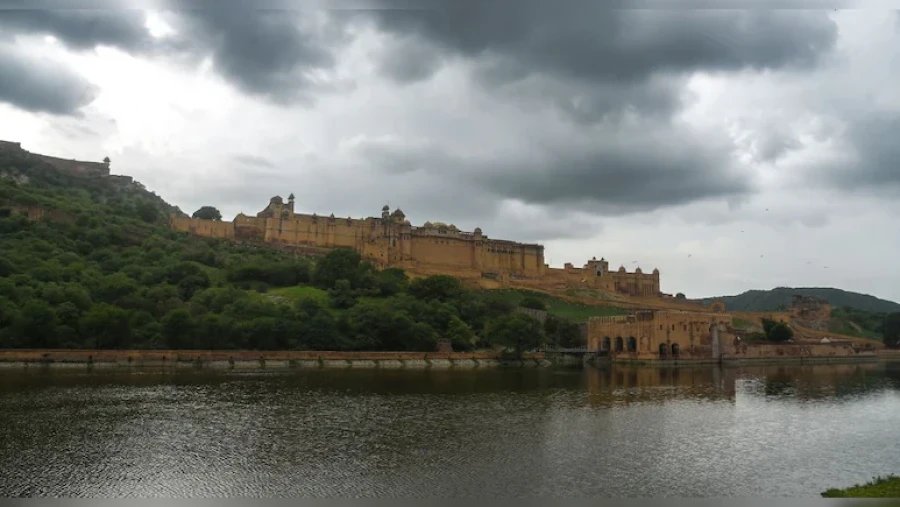
Rajasthan is currently witnessing a significant shift in weather patterns as pre-monsoon activities intensify across the state. The Meteorological Department has issued a stern warning regarding thunderstorms and heavy rains that are expected to lash various regions over the next 4 to 5 days. This change in weather has brought a much-needed respite from the scorching summer heat for the residents of Jaipur and its surrounding districts. However, while the rain provides relief, the increase in moisture levels is likely to lead to a rise in humidity, potentially causing discomfort in the coming days.
Alert Issued for Multiple Districts
The weather office has specifically highlighted several districts that are under a yellow alert for light to moderate thunderstorms and rain. These areas include Churu, Didwana-Kuchaman, Sikar, Jhunjhunu, Jaipur, and Kotputli-Behror. Residents in these locations have been advised to stay cautious as the weather remains volatile. The atmospheric conditions are being influenced by a Western Disturbance that has been active over the region for the past two days, triggering these pre-monsoon activities. The department noted that the combination of heat and moisture is fueling these localized storm cells.
High-Speed Winds and Regional Impact
According to the latest updates from the Meteorological Department, wind speeds are expected to reach up to 70 kilometers per hour in several divisions. The impact of these high-speed winds will be most prominent in Jaipur, Bharatpur, Ajmer, Bikaner, and the Shekhawati regions. Over the last 48 hours, parts of Bikaner division, Jaipur, Bharatpur, Kota, and Ajmer have already experienced intense thunderclouds, dust storms, and varying intensities of rainfall ranging from moderate to heavy. These conditions are expected to persist as the weather system moves across the state.
Rainfall Statistics and Temperature Trends
In terms of precipitation, Khanpur in the Jhalawar district recorded the highest rainfall in the state, measuring 51mm. This significant downpour has contributed to a noticeable dip in mercury levels across the state. Many stations have reported a decrease in temperature by 2 to 4 degrees Celsius. Despite this cooling effect, the maximum temperatures are still expected to hover between 42 and 43 degrees Celsius. While the heatwave conditions have subsided due to the rain and wind, the rising humidity remains a factor to watch out for as it may increase the heat index.
Monsoon Progress and Future Outlook
Regarding the progress of the actual monsoon, the weather department noted that the monsoon is currently active in parts of Northeast and Eastern India, while the Bay of Bengal branch of the monsoon is primarily concentrated in the northeastern states at this stage. For Rajasthan, pre-monsoon activities are slated to continue for at least another week. The eastern parts of the state, including the Jaipur, Ajmer, Bharatpur, and Kota divisions, will continue to see a cycle of moderate to heavy rain accompanied by thunderstorms, while this extended period of pre-monsoon weather is expected to keep the extreme heat in check, although the transition period will be marked by fluctuating weather conditions and increased moisture in the air.