
- India,
- 10-Jul-2026 08:38 AM IST



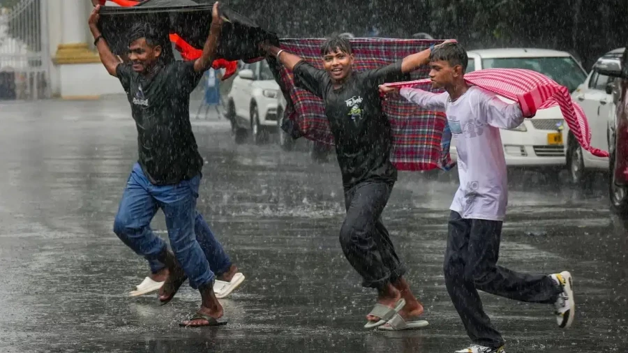
The India Meteorological Department (IMD) has released a comprehensive weather update indicating that the southwest monsoon has now successfully covered the entire geographical extent of India. According to the latest reports from the weather office, the monsoon advanced into the remaining parts of the North Arabian Sea, Rajasthan, Haryana, and Punjab on July 9 2026. This milestone marks the completion of the monsoon's journey across the nation, although it arrived with a slight delay of one day compared to the usual scheduled date of July 8. With the monsoon now fully active, the IMD has predicted a period of intense weather activity over the next week, characterized by heavy to extremely heavy rainfall, thunderstorms, and high-velocity winds across various regions including North India, the Northeast, the Western Coast, and Central India.
Widespread Rainfall Forecast for North and East India
The weather department has highlighted a critical period between July 10 and July 15 during which several parts of the country are expected to witness significant precipitation. Specifically, the IMD has issued an alert for extremely heavy rainfall in certain locations within Uttarakhand, West Uttar Pradesh, Assam, and Meghalaya, while these regions are at risk of facing intense downpours that could lead to localized challenges. Plus, a warning for heavy to very heavy rainfall has been extended to a broader range of states. This includes Himachal Pradesh, Bihar, Haryana, Delhi, East Uttar Pradesh, Punjab, Kerala, Madhya Maharashtra, Karnataka, and West Bengal. Residents in these areas are advised to prepare for sustained rainy conditions that may impact daily life and outdoor activities.
Thunderstorms and High Velocity Wind Warnings
In addition to the rainfall, the IMD has cautioned about the occurrence of thunderstorms accompanied by lightning and gusty winds. Across many states, wind speeds are expected to range between 40 and 60 kilometers per hour. However, the situation in Telangana appears more severe, where the weather office has predicted that wind speeds could reach between 50 and 70 kilometers per hour in some locations. These high-speed winds, combined with lightning, pose a risk to temporary structures and could lead to the falling of tree branches. The IMD emphasizes the importance of staying indoors during such events to ensure personal safety.
Flash Flood Threat in Uttarakhand
A specific and urgent warning has been issued for the state of Uttarakhand. The IMD has indicated a significant risk of flash floods in several districts of the state over the next 24 hours. This threat is particularly acute due to the combination of heavy rainfall and the mountainous terrain. In light of this danger, the weather department has strongly advised both the local administration and the general public to remain highly vigilant. Travelers and tourists are specifically urged to avoid unnecessary journeys, especially in hilly tracts where the risk of landslides and sudden water surges is highest. The administration has been put on high alert to manage any emergencies arising from these conditions.
Potential Impacts and Advisory for the Public
The IMD has detailed the potential consequences of this heavy rainfall spell. One of the primary concerns is waterlogging in low-lying areas, which can lead to significant disruptions in urban centers. Traffic movement is likely to be affected due to flooded roads and reduced visibility. In hilly regions, the threat of landslides remains a major concern, which can block arterial roads and isolate communities. Also, the weather office has noted that the heavy rain could cause damage to kutcha roads and have an adverse impact on standing crops. The public is urged to strictly follow the advisories issued by the weather department and local administrative bodies. Staying updated with the latest weather bulletins and avoiding water-prone areas are essential steps to mitigate the risks associated with this active monsoon phase.