- India,
- 02-Jul-2026 07:27 AM IST
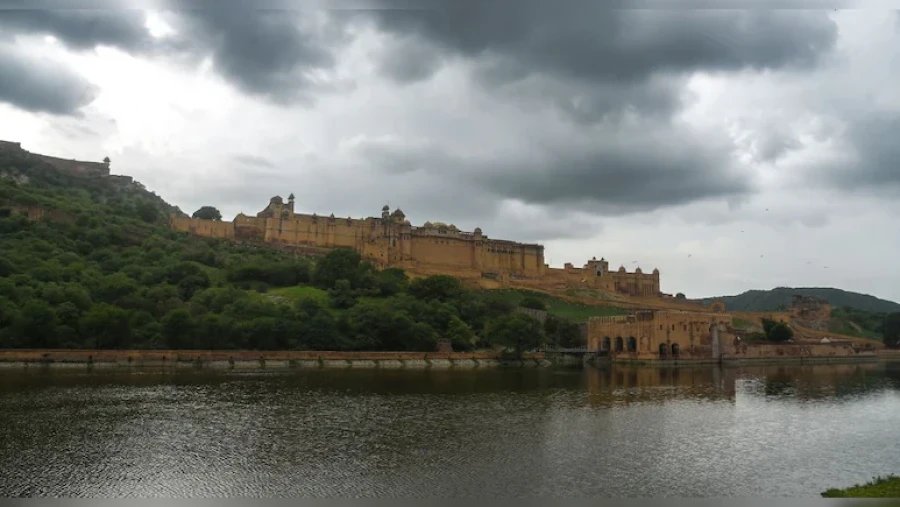
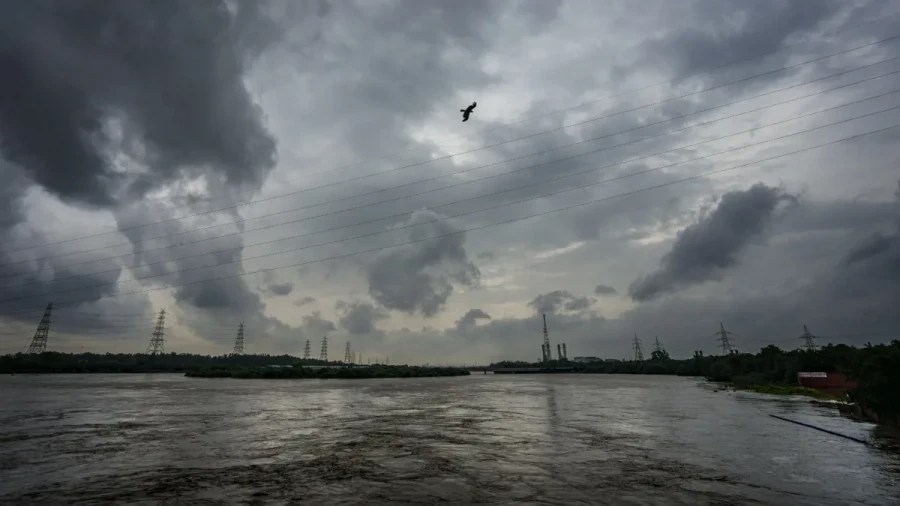
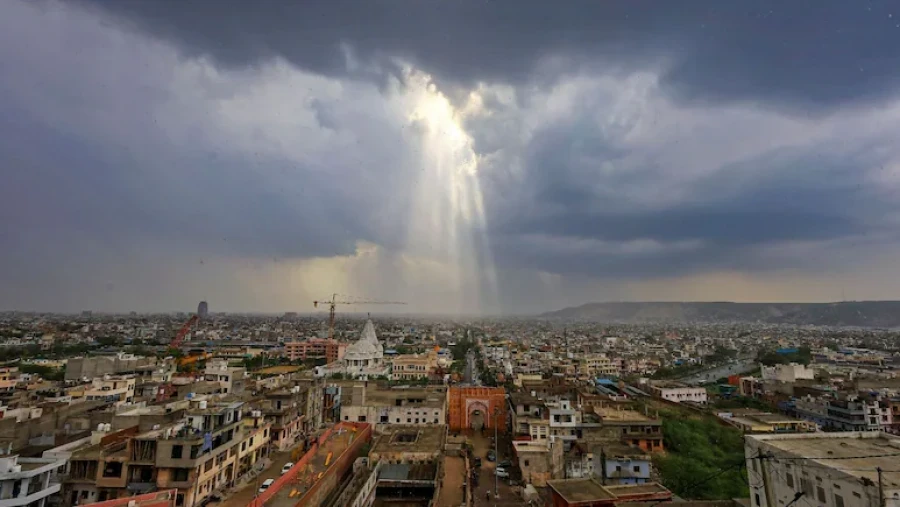
The monsoon season in Rajasthan has Notably intensified, prompting the Meteorological Department to issue urgent weather warnings across various parts of the state. As the monsoon gains momentum, several districts are bracing for heavy rainfall accompanied by strong winds. The weather department's latest update highlights a shift in atmospheric conditions, suggesting that the coming days will see a surge in rain-related activities, particularly in the southeastern and eastern regions of Rajasthan, while this shift marks a crucial phase in the state's weather cycle as the monsoon clouds spread their reach across the desert state.
Orange Alert Issued for Key Districts
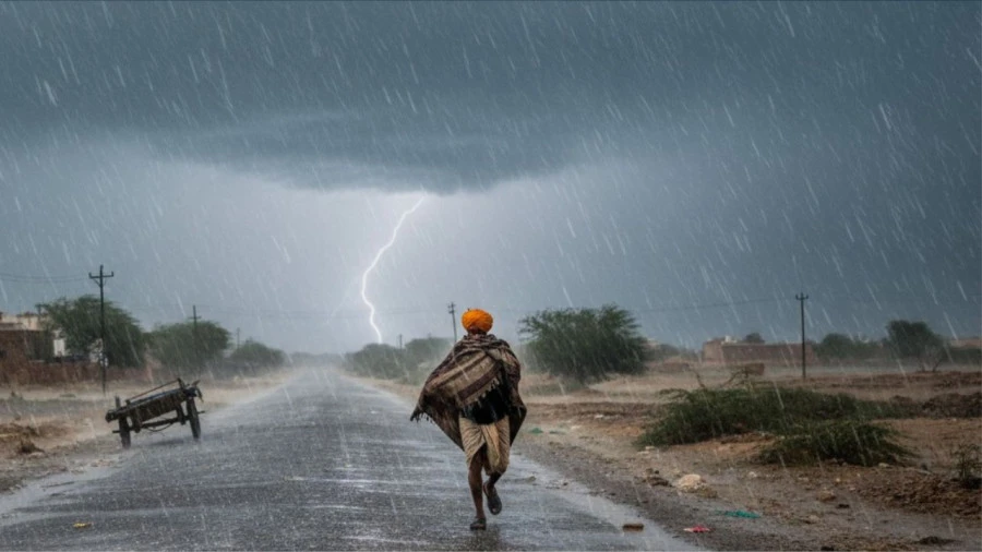
In response to the developing weather patterns, an orange alert has been officially declared for several prominent districts. These include the state capital Jaipur, along with Ajmer, Beawar, Tonk, Bhilwara, Chittorgarh, and Kotputli-Behror. Residents in these areas should prepare for moderate to heavy rainfall, while the alert also specifies that these regions are likely to experience high-velocity winds ranging from 40 to 60 kilometers per hour. On top of that, parts of the Bundi district are also expected to witness significant rain and thunderstorms during this period. The orange alert serves as a warning for potential disruptions due to the intensity of the weather conditions expected in these specific locations.
Widespread Yellow Alert Across Rajasthan
The Meteorological Department has also extended a yellow alert to a vast number of other districts, indicating a broad coverage of monsoon activity. The districts under this alert include Alwar, Dausa, Karauli, Sawai Madhopur, Kota, Baran, and Jhalawar. Plus, the alert covers Sikar, Sri Ganganagar, Hanumangarh, Churu, Jhunjhunu, Nagaur, Pali, Rajsamand, Udaipur, Salumbar, Pratapगढ़, Dungarpur, Banswara, and Didwana-Kuchaman, while in these locations, the forecast predicts light to moderate rainfall. The wind speeds in these yellow-alert zones are expected to be slightly lower but still significant, ranging between 30 and 40 kilometers per hour. This widespread alert suggests that the monsoon is making its presence felt across almost every corner of the state, from the northern borders to the southern tribal belts.
Weather Forecast Until July 5
Looking ahead, the weather department has provided a detailed outlook for the next few days. From July 2 to July 5, the monsoon is expected to become even more active across the southeastern and eastern parts of Rajasthan. This period is likely to see a marked increase in rainfall activities. Specifically, certain areas within the Kota and Udaipur divisions are at risk of experiencing heavy downpours. The intensification of the monsoon during these four to five days is expected to bring much-needed relief to many parts of the state, though it also brings the potential for weather-related disruptions. The department continues to monitor the situation as the monsoon trough moves through the region.
Heat and Humidity in Western Regions
While eastern Rajasthan prepares for rain, the western divisions of Jodhpur and Bikaner are facing a different set of challenges, while in these areas, the maximum temperatures are projected to remain high, hovering between 42 and 44 degrees Celsius over the next 3 to 4 days. The combination of high temperatures and elevated humidity levels is expected to create oppressive conditions. Residents in these divisions will likely have to contend with intense heat and sultry weather, contrasting sharply with the rainy conditions seen elsewhere in the state. The high humidity levels are expected to increase the discomfort for the local population until the monsoon clouds eventually reach these western parts.