
- India,
- 26-May-2026 08:15 AM IST



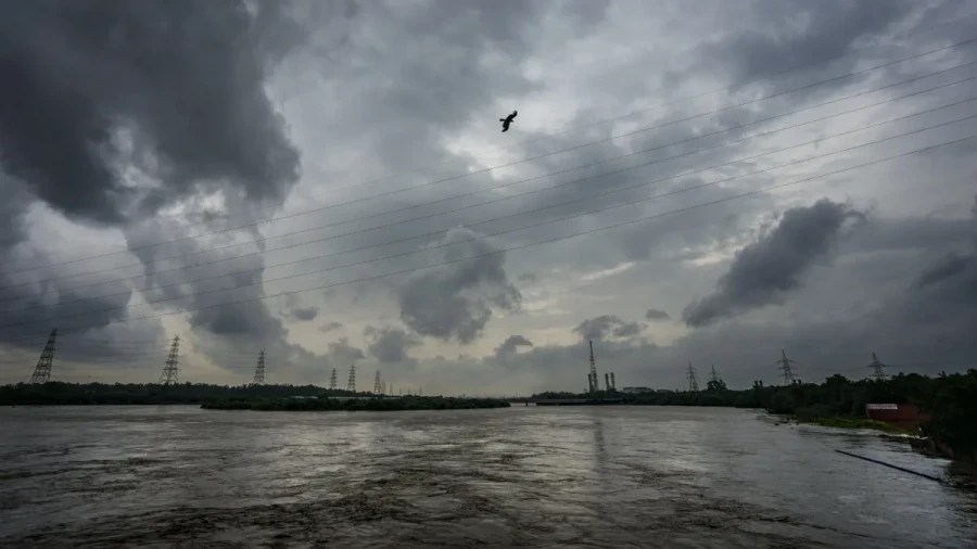
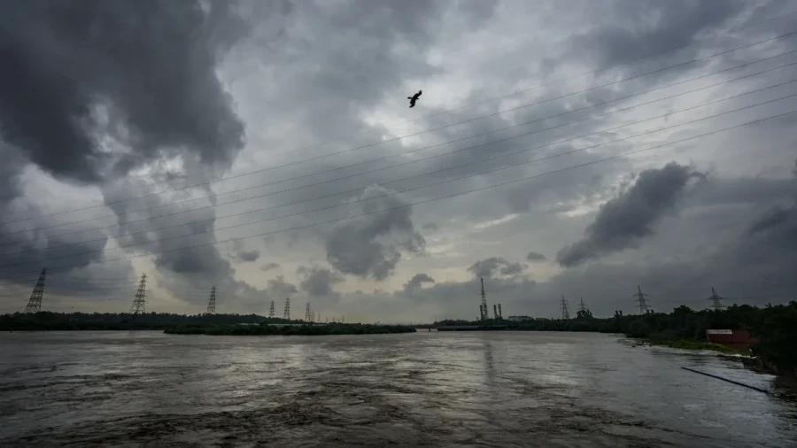
The intense heatwave and scorching sun that have been distressing a large part of the country are set to provide some relief soon, while the India Meteorological Department (IMD) has issued a significant weather update, bringing hope to millions of residents across North, Central, and East India. According to the latest forecast, a series of atmospheric changes will lead to a noticeable drop in temperatures, ranging from 2 to 8 degrees Celsius over the next 2 to 3 days. This shift is expected to bring a much-needed respite from the prevailing heatwave conditions that have gripped states like Uttar Pradesh, Bihar, Delhi-NCR, and Rajasthan.
Western Disturbance and Monsoon Progress
The primary driver behind this change in weather is a new Western Disturbance that's expected to become active over Northwest India starting May 28. This system will interact with local conditions to trigger thunderstorms and rainfall across various regions. Also, the IMD has noted that conditions are highly favorable for the further advancement of the Southwest Monsoon into the remaining parts of the Bay of Bengal and the Andaman Sea. These combined meteorological factors are paving the way for a transition from extreme heat to more temperate and rainy conditions across the subcontinent.
State-wise Weather Forecast: Delhi and Uttar Pradesh
In the national capital region of Delhi-NCR, the heatwave is expected to persist for the next two days. However, a significant change is anticipated from May 28 onwards. The skies are likely to become cloudy, and there is a strong possibility of dust storms or thunderstorms occurring in the afternoon, with wind speeds reaching 40 to 50 km/h. Similarly, in Uttar Pradesh, cities such as Lucknow, Varanasi, and Kanpur will continue to experience high temperatures for the next 48 hours. A rain alert has been specifically issued for Eastern Uttar Pradesh on May 27. Following this, between May 28 and May 31, the state might witness severe storms with wind speeds as high as 70 km/h, leading to a substantial drop in temperature starting May 29.
Impact on Bihar and Rajasthan
Bihar is also bracing for a change in weather. The IMD has predicted dust storms with speeds of up to 70 km/h in districts like Patna, Gaya, and Muzaffarpur between May 26 and May 29. Plus, rain alerts have been issued for several parts of the state for May 26 and May 27. In Rajasthan, while the heatwave will continue to be severe in some areas until May 28, the overall heatwave conditions are expected to last until May 30. However, from May 29, the weather is likely to take a turn, with several districts expecting thunderstorms and light rain, providing relief to the parched landscape.
Rainfall Alerts for Jharkhand and Hilly Regions
Jharkhand is set to receive significant relief as the IMD has issued a heavy rain alert accompanied by thunder and lightning for districts including Ranchi, Jamshedpur, and Dhanbad from May 26 to May 31. In the northern hilly states, Uttarakhand is expected to see rainfall in areas like Dehradun and Nainital between May 28 and May 31, with a possibility of hailstorms in higher reaches on May 29. Himachal Pradesh will also experience light rain and winds of 50 km/h on May 28 and May 29, with chances of hail in certain pockets. Meanwhile, heavy to very heavy rainfall alerts remain in place for Northeast India, including Assam, Meghalaya, and Arunachal Pradesh, as well as Southern states like Kerala, Tamil Nadu, and Karnataka.