Breaking News
Rajendra Singh Rathore: Is the Political Journey Over or a Bigger Role Awaits?
Congress Nominates Neeraj Dangi for Rajya Sabha, BJP Announces Two Candidates
Congress Strategy for 2027 Punjab Polls: Sunil Kanugolu Proposes Channi-Rana-Singla Trio
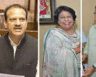
BJP Nominates Satish Poonia and Alka Gurjar for Rajya Sabha from Rajasthan
Karnataka Congress Faces Pressure: Muslim Leaders Demand 5 Cabinet Berths, Warn Protests
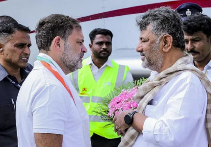
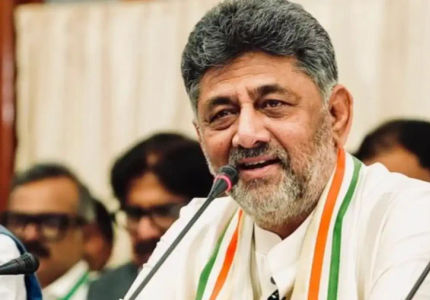
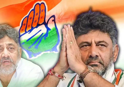
DK Shivakumar: New CM Allocates 2000 Crore For Bengaluru Roads And Jobs
Govind Singh Dotasra Targets BJP: Calls Ministers Small Time Thieves Amid NEET Controversy
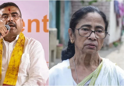
Mamata Banerjee Faces Triple Blow: Firhad Resigns, Abhishek Summoned, Ritabrata Recognized
DK Shivakumar Sworn In As 25th Karnataka CM, G Parameshwara Takes Deputy CM Oath
TMC Crisis: 18 MLAs Attend CM Suvendu Adhikari's Meeting, Mamata Dissolves Committees